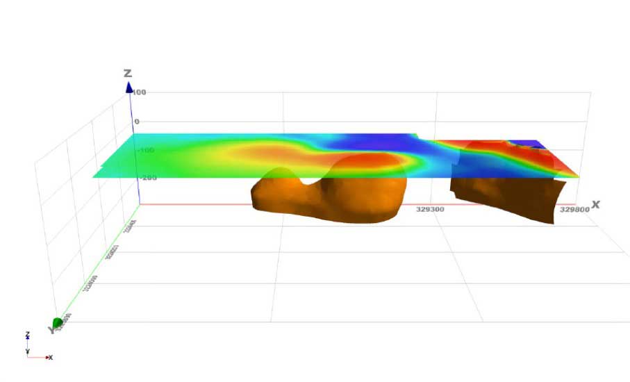
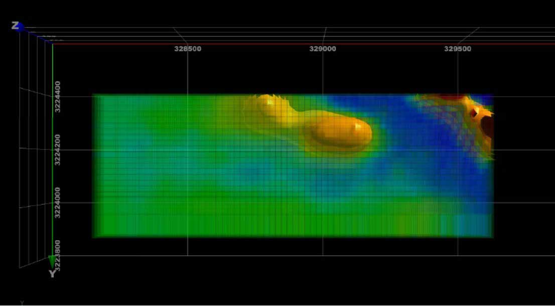
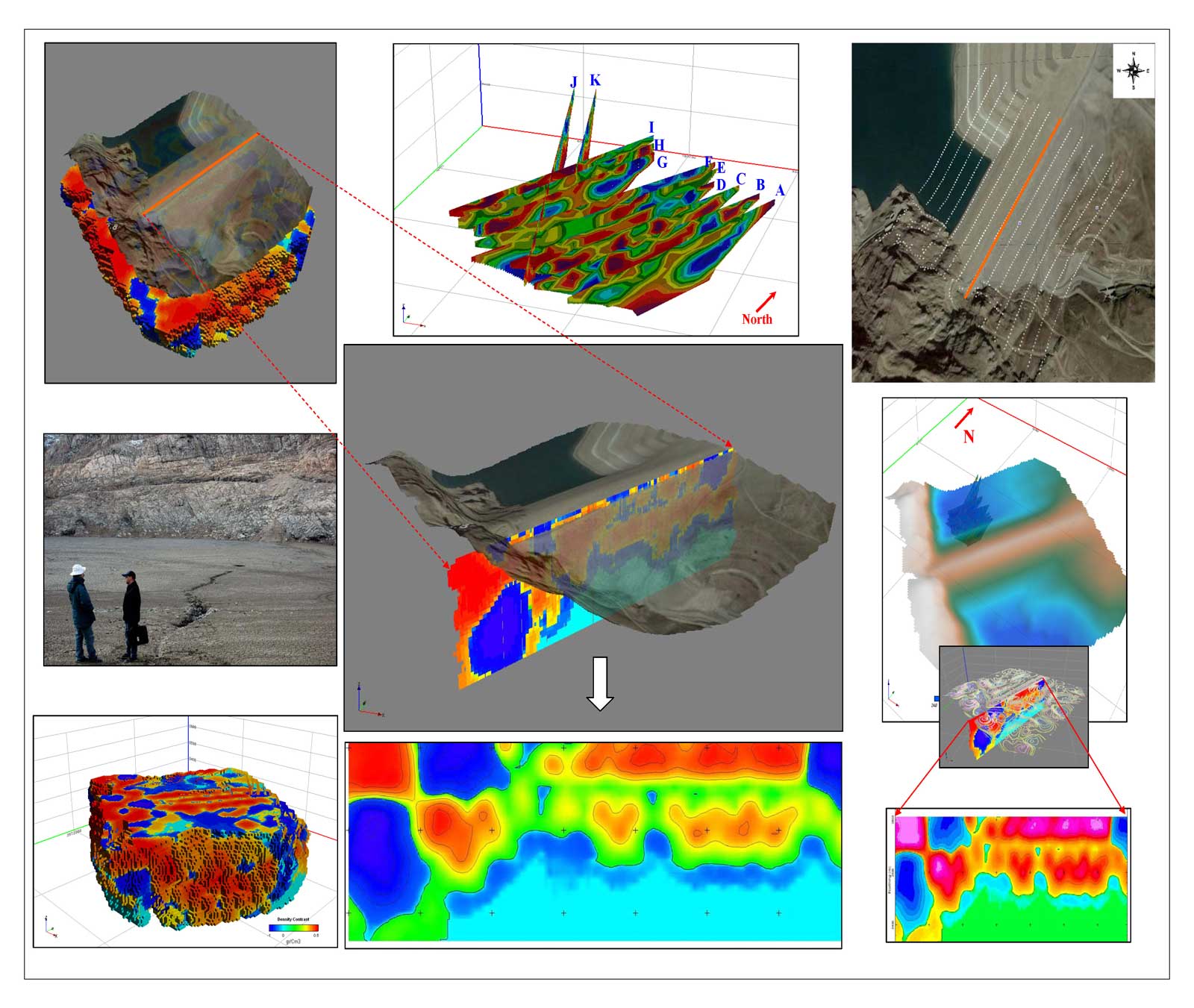
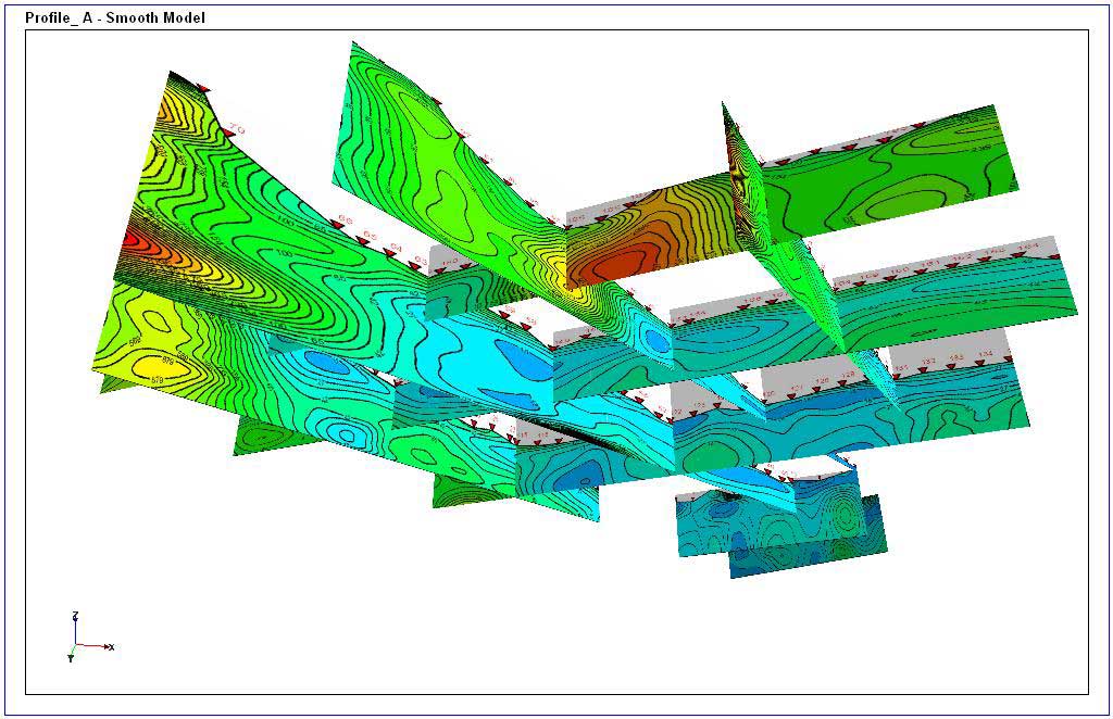
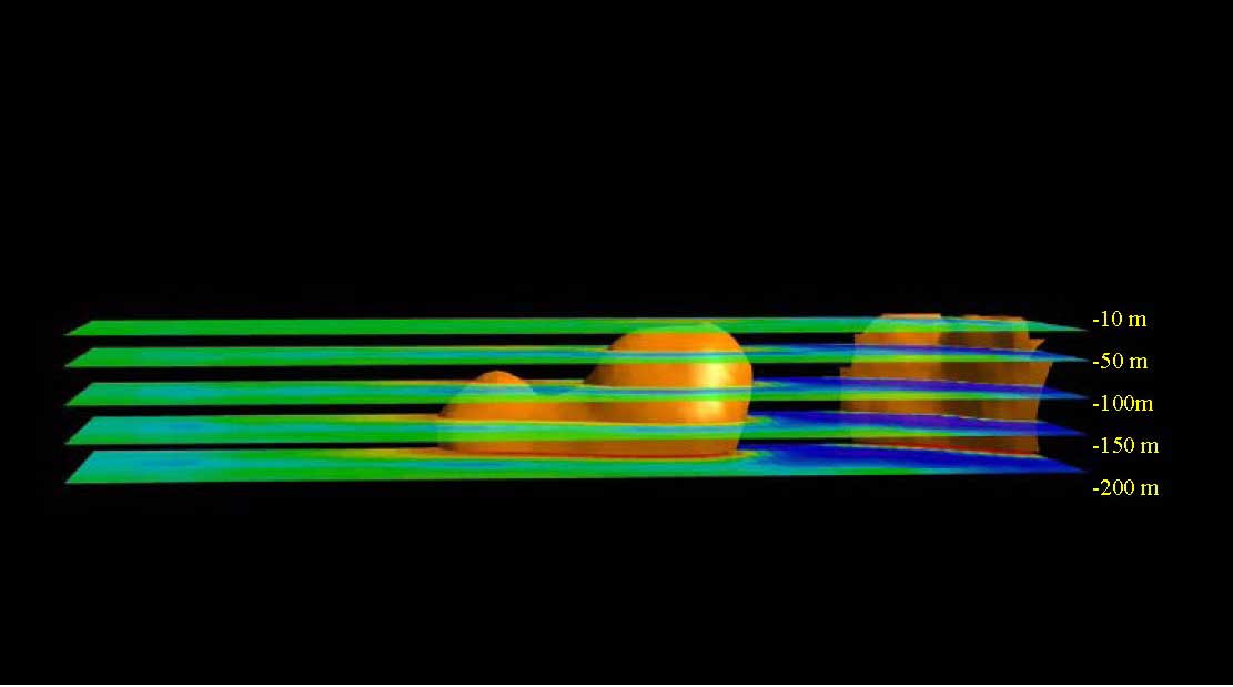
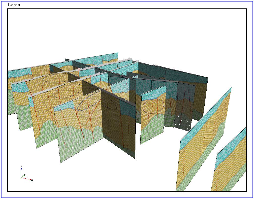
We have some interactive interpreter’s tool for analysis of data in profile, map and 3D display formats. The information that can be analysed by this softwares include single or multi-channel data acquired from airborne or ground surveys, including electromagnetics (AEM), potential field (gravity or magnetic) data or a combination of data types.
These software’s access data directly from advanced processing systems and industry-standard databases.
This approach significantly increase the speed of data access and assists in data management.
