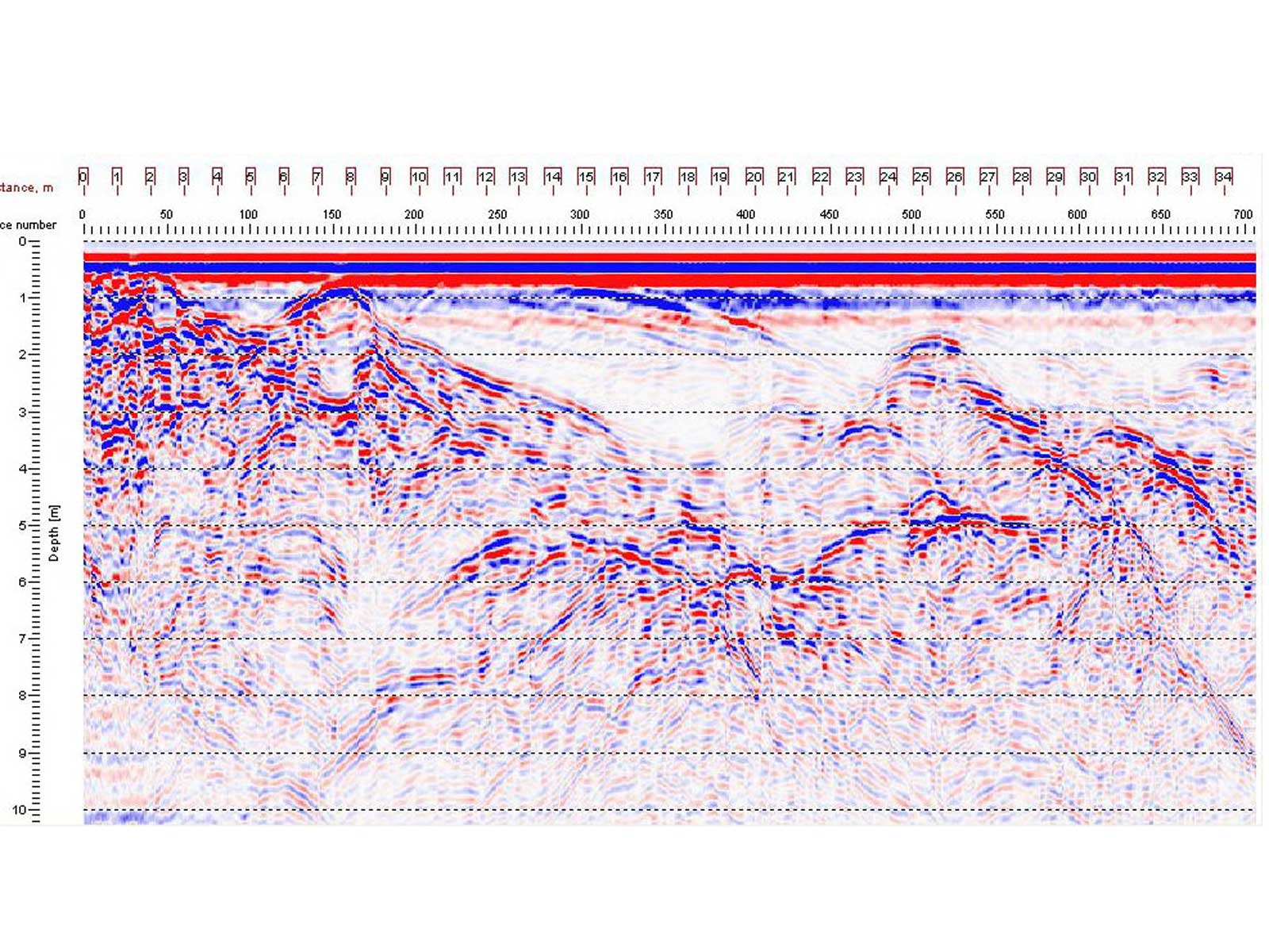
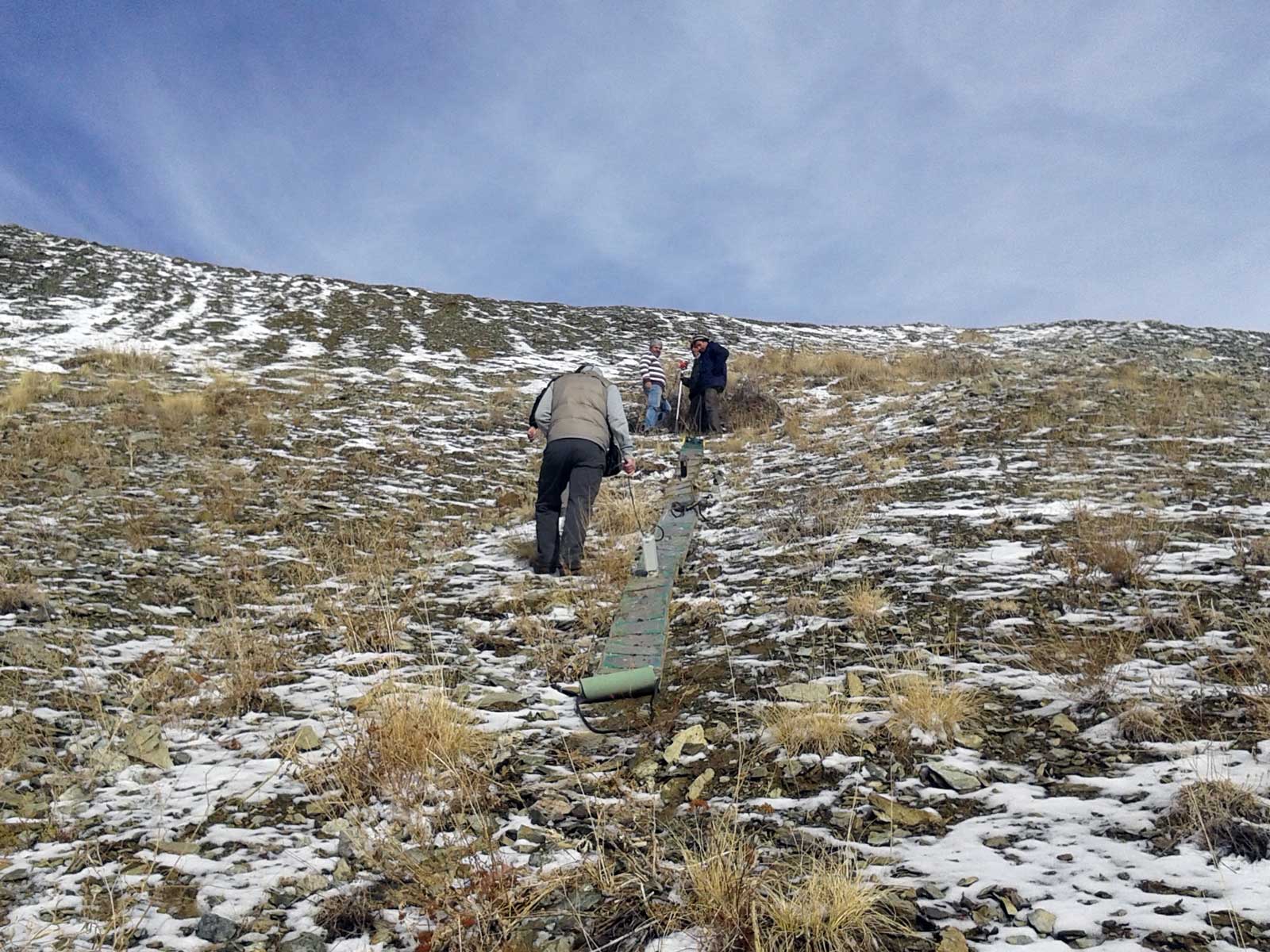
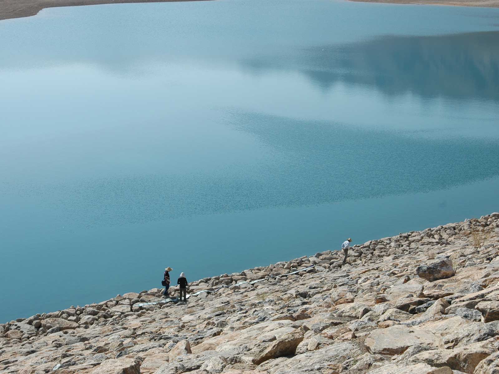
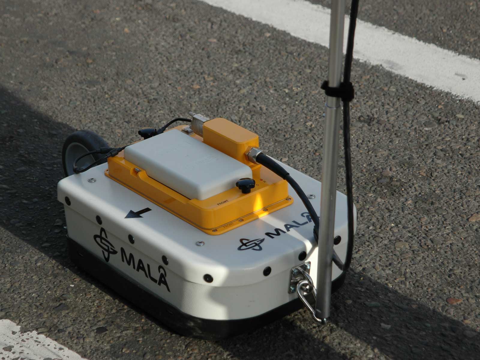
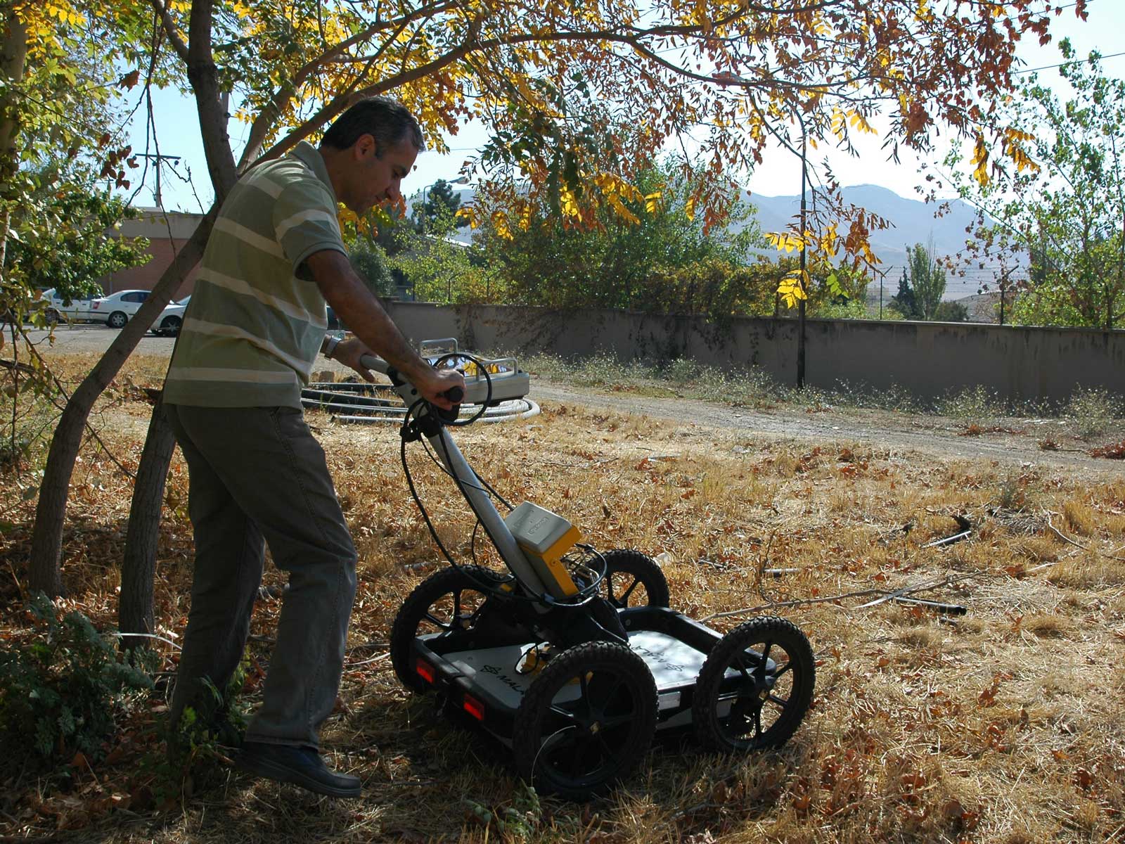
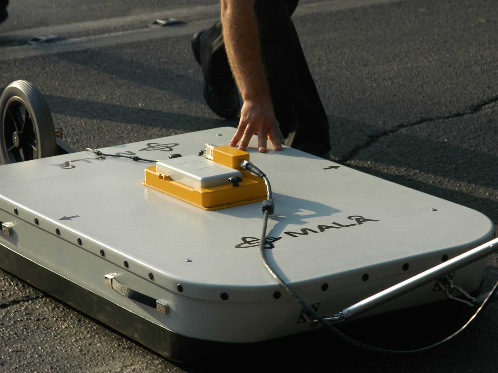
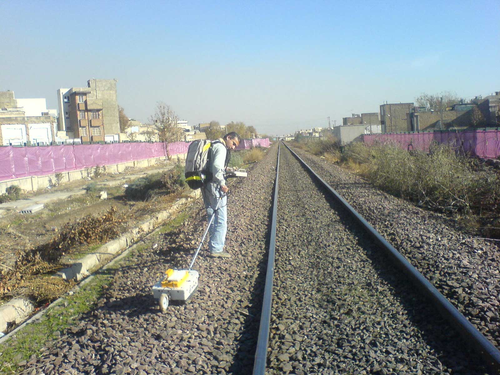
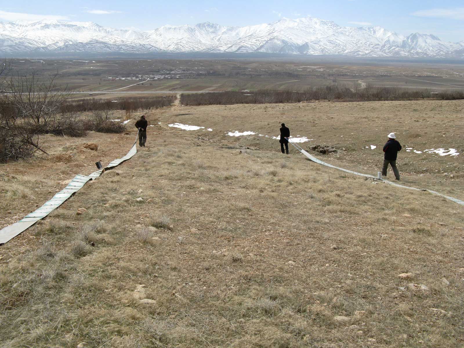
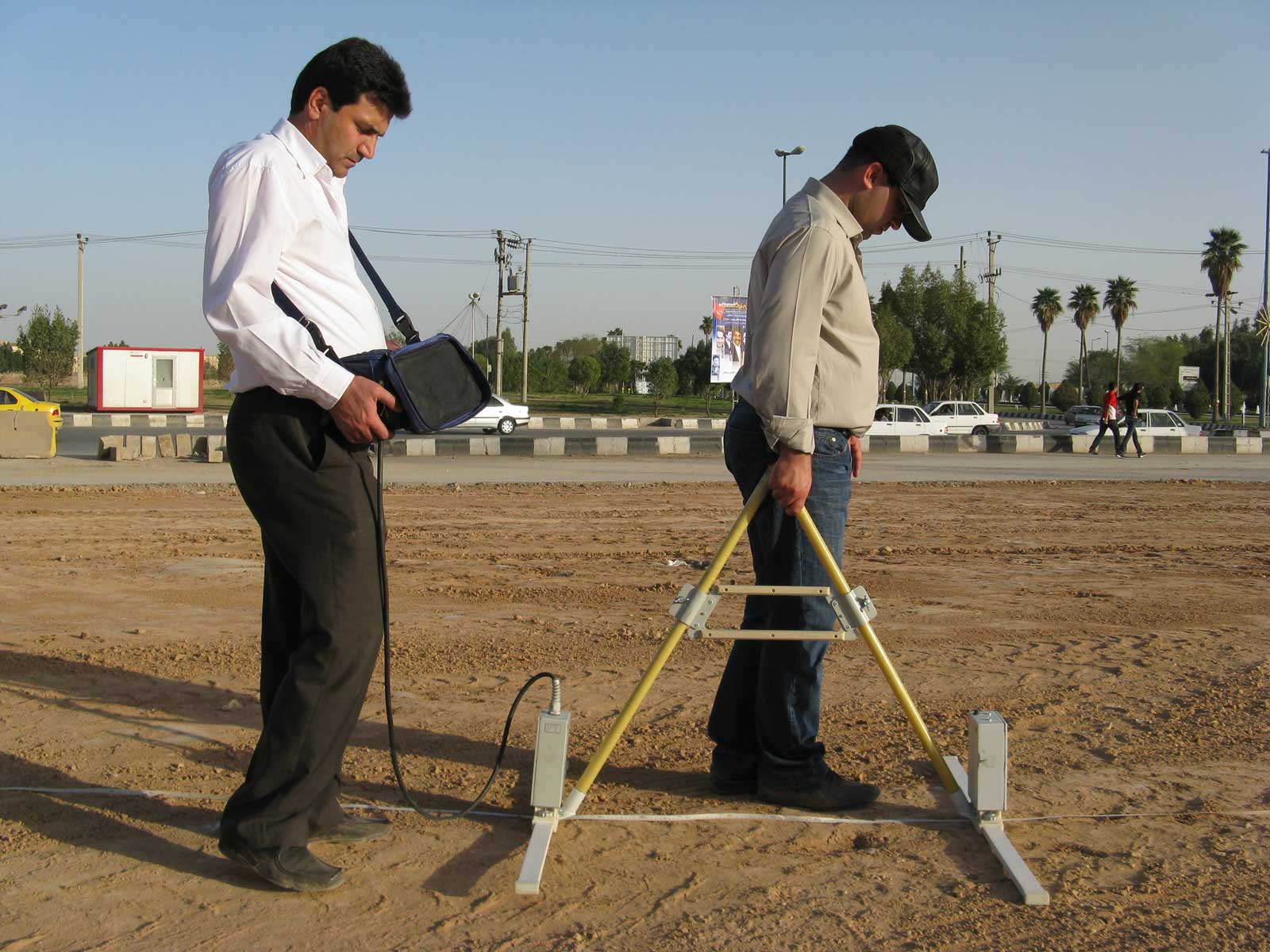
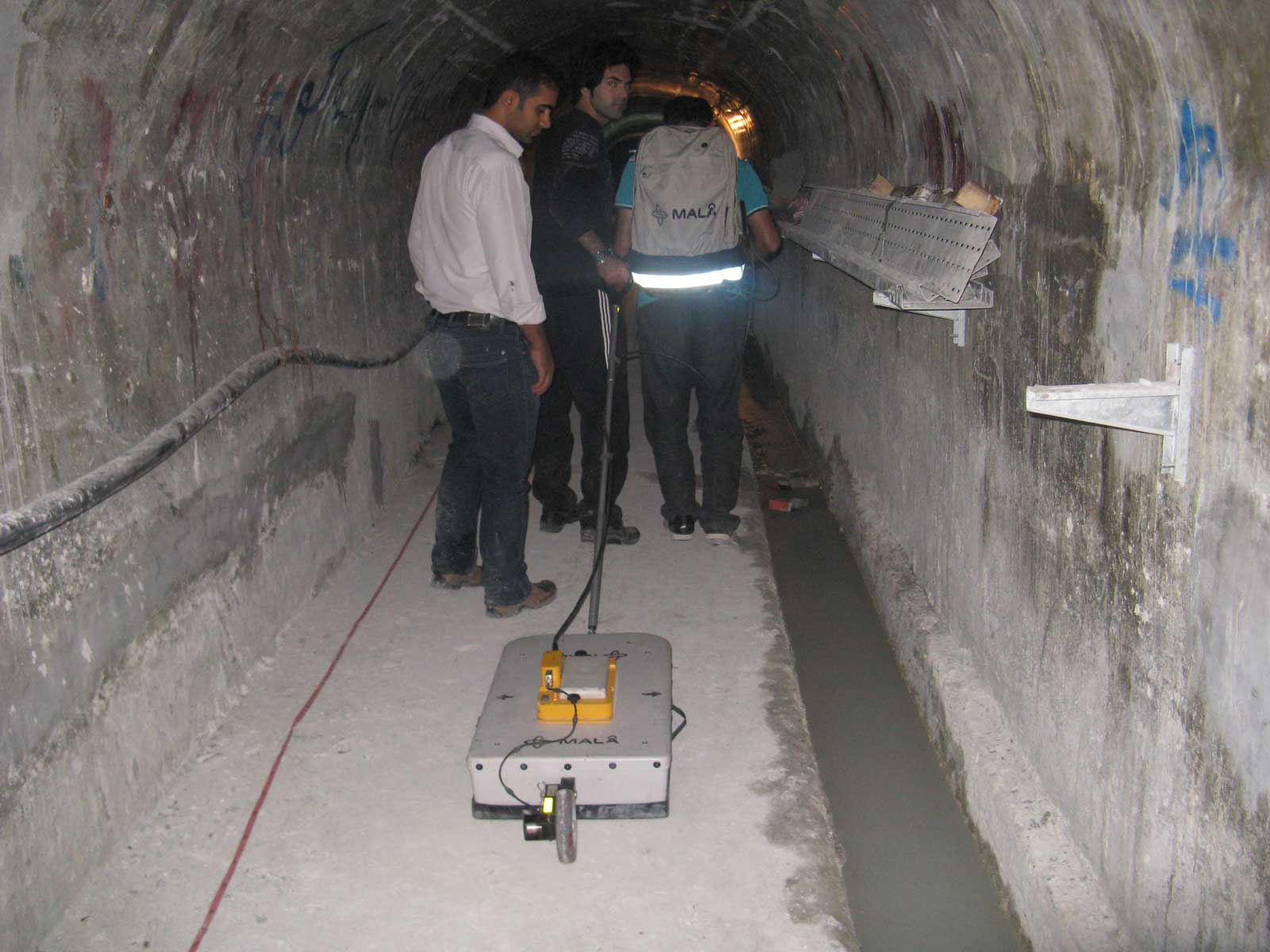
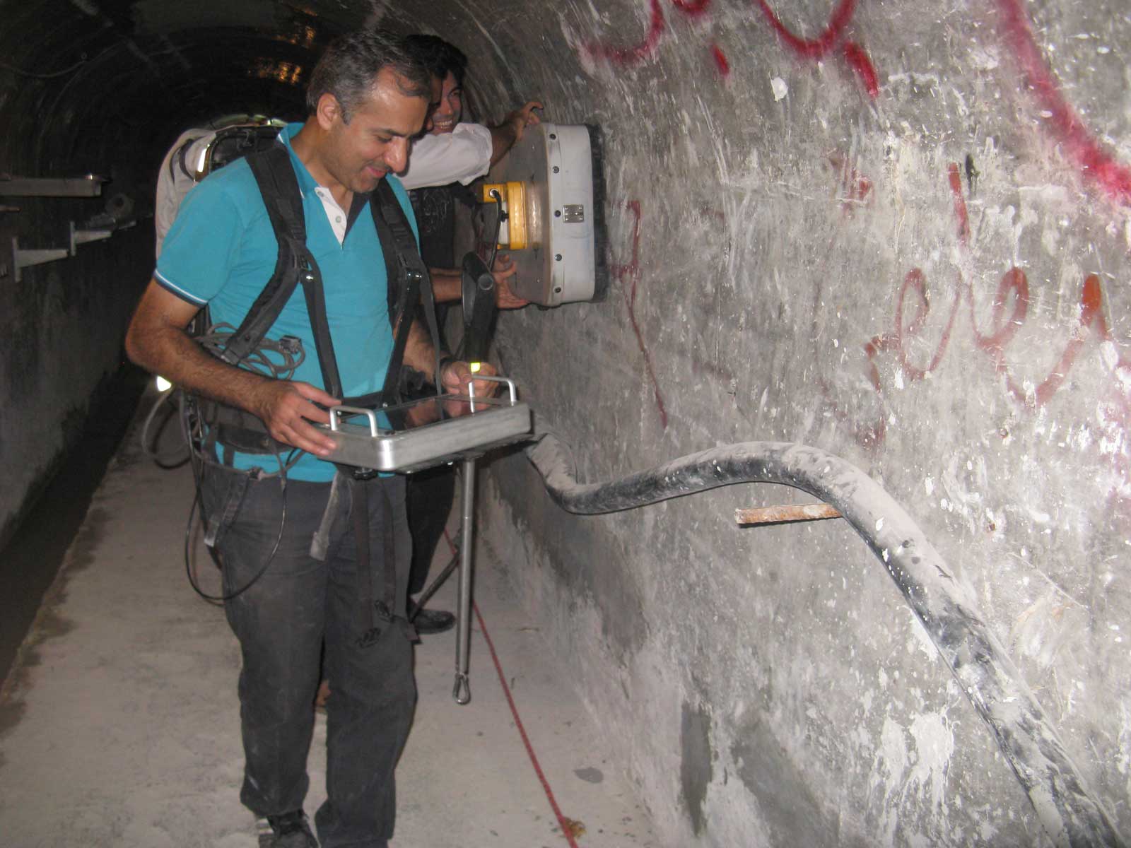
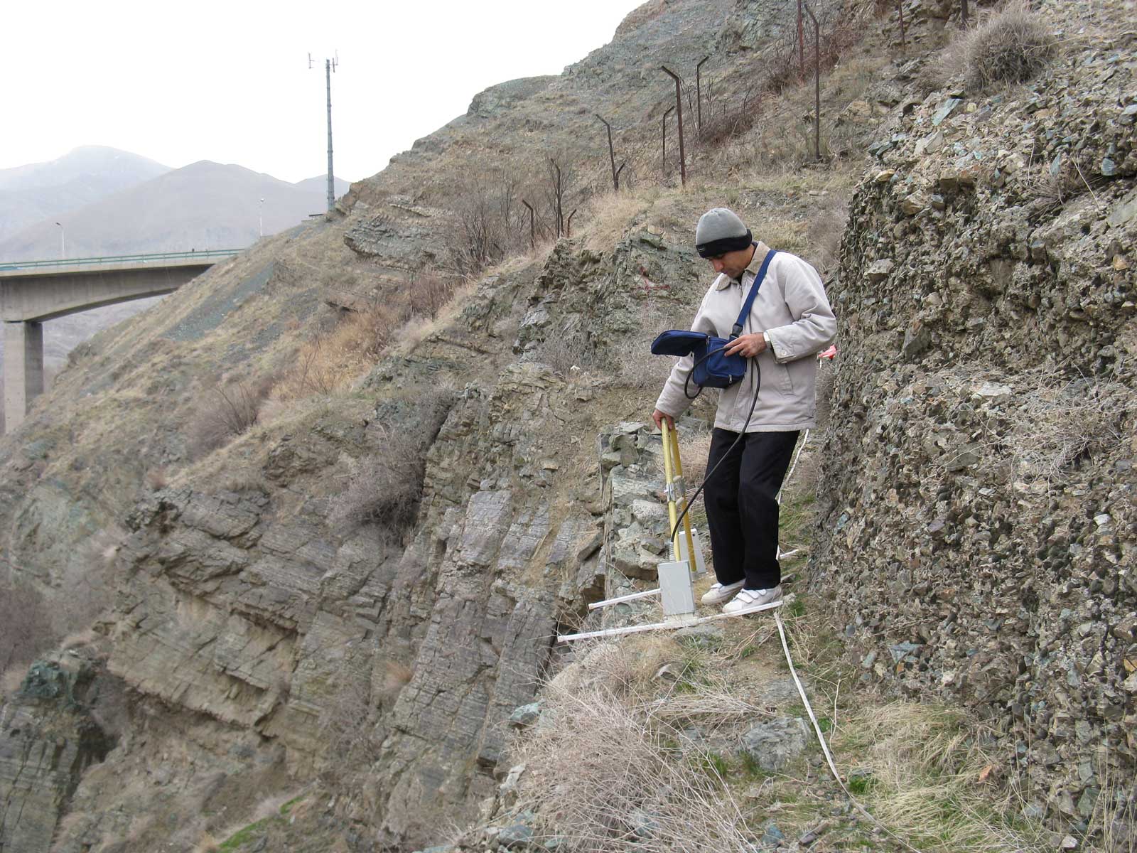
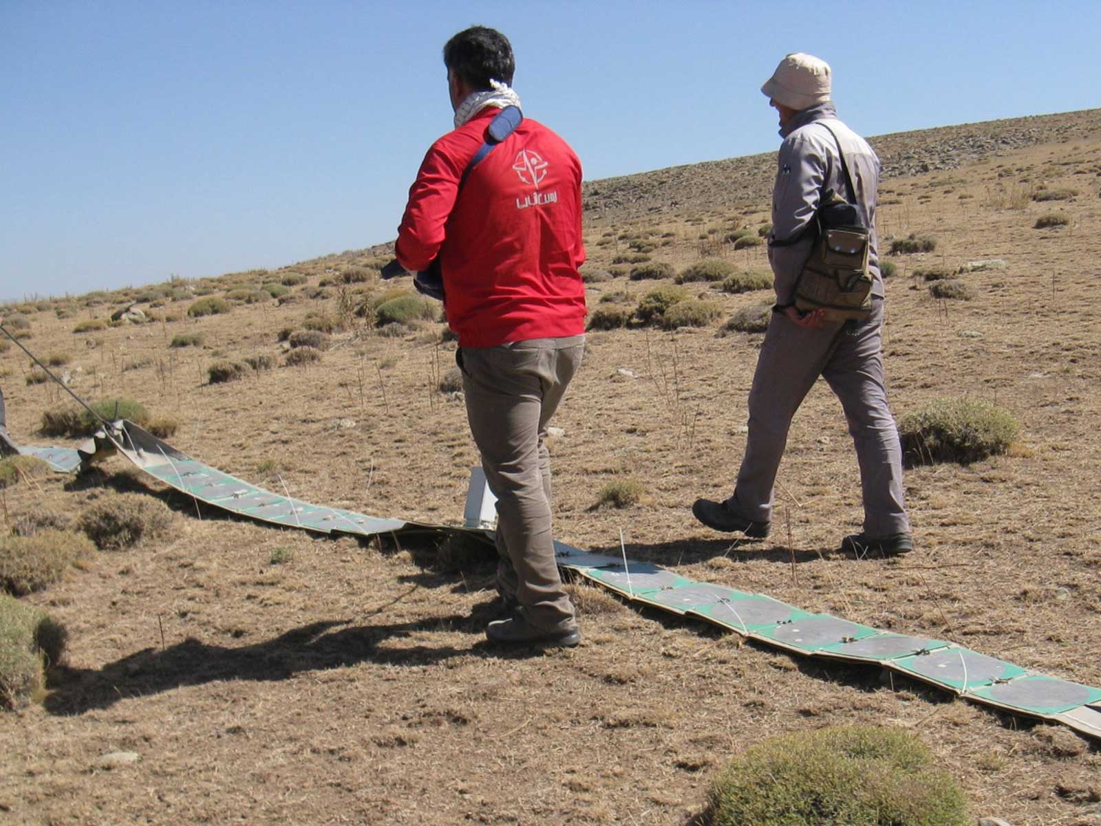
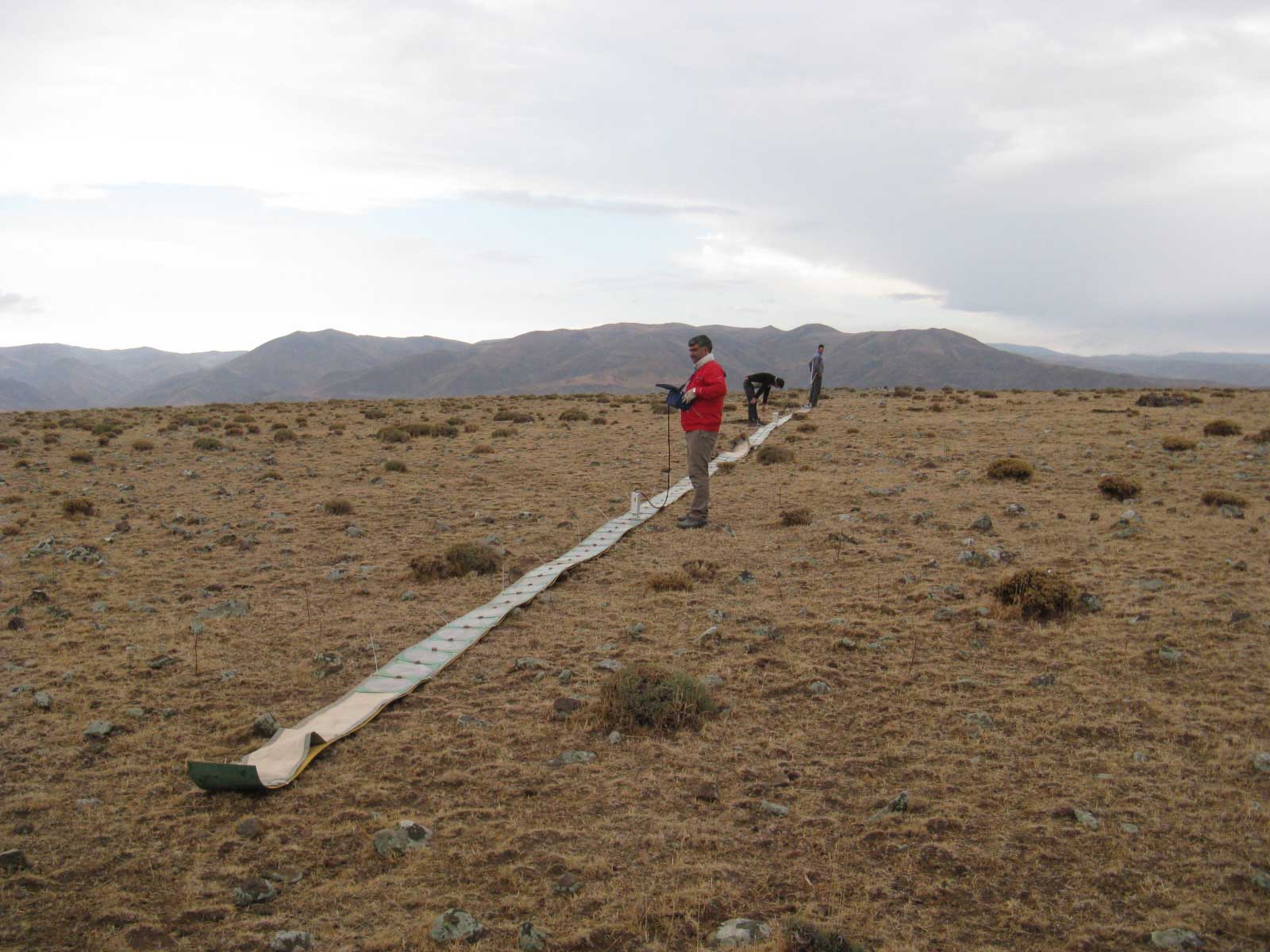
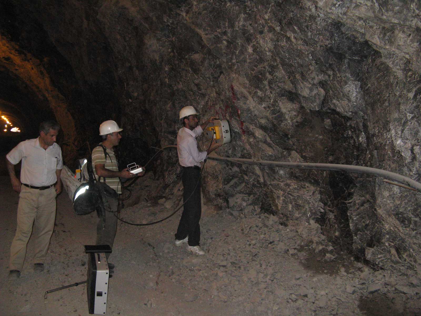
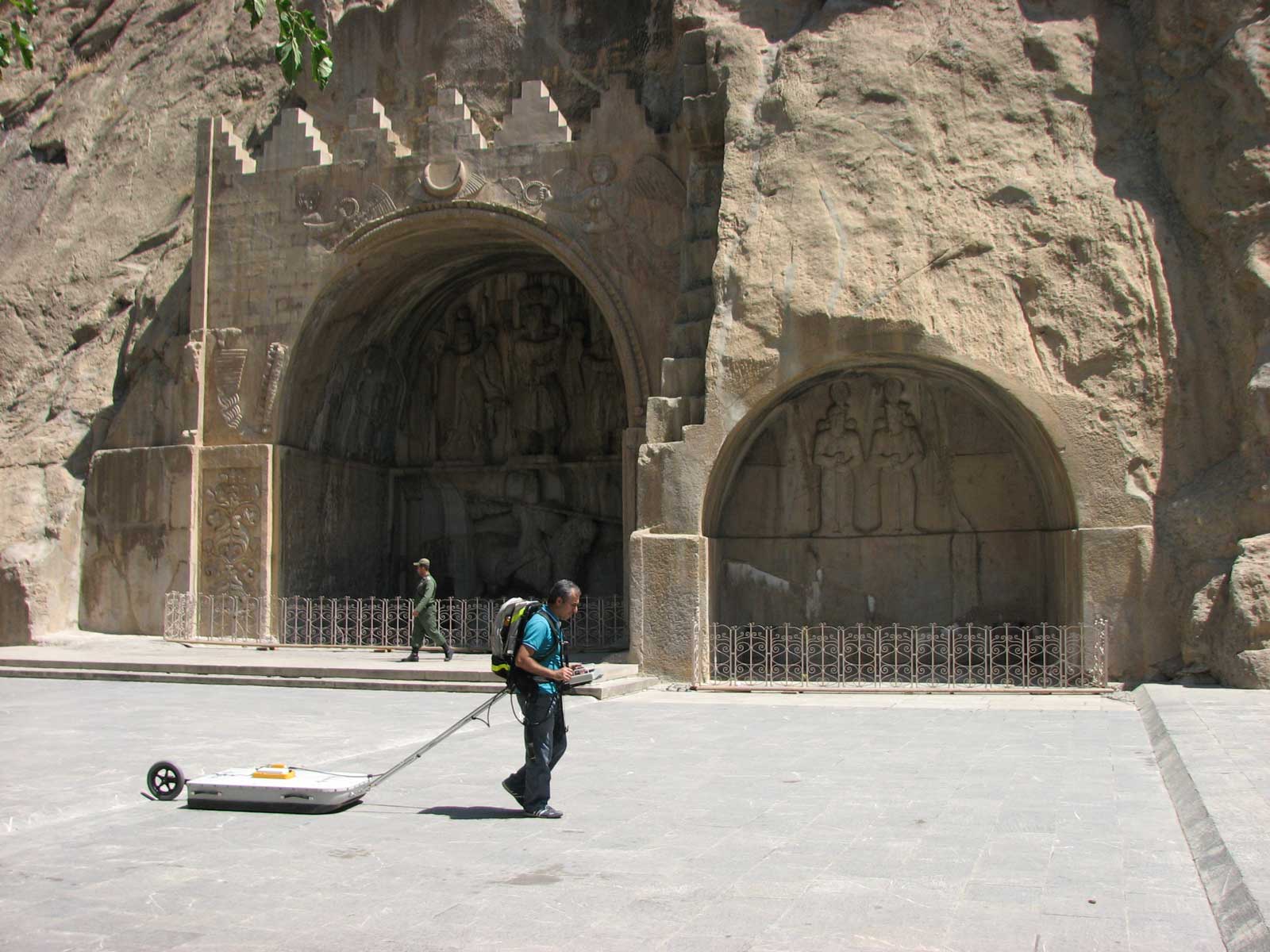
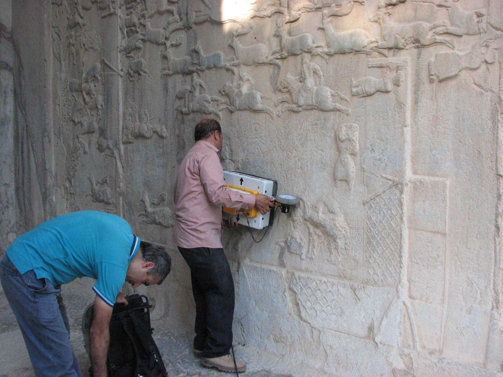
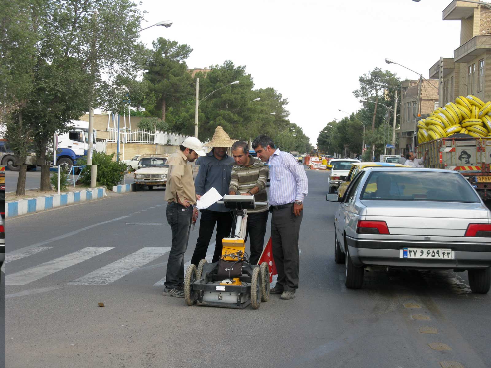
Ground penetrating radar (GPR) uses pulsed high frequency radio waves to probe subsurface without disturbing the ground. GPR data are collected continuously as the instrument moves on the ground surface and provides a real time graphic image of the subsurface. The method is based on the reflection of VHF electromagnetic waves at the boundaries of media with different di-electic properties. GPR method can be used to map the following sub surface features:
- Service and foundation structure (i.e. roadbed and railway ballast studies),
- Sub-surface utility engineering,
- Cavities, voids and underground storage tanks detection,
- Rock quality estimation,
- Fracture mapping,
- Geological boundary mapping,
- Hydrogeology and soil stratigraphy,
- Archaeology,
• Environmental site assessment
